Jiangye Yuan

I am a researcher/engineer at DeepMirror, focusing on AI algorithm development for large-scale AR applications.
Previously, I worked at Sturfee, Amazon, and Oak Ridge National Laboratory. I have worked extensively on 3D computer vision, neural networks, image processing, remote sensing, and geoscience.
I received my Ph.D. in Geodetic Science in 2012 and M.S. in Computer Science and Engineering in 2009, both at The Ohio State University, where I was a member of the Perception and Neurodynamics Lab and the Mapping and GIS Lab.

Email: jiangye07-at-gmail.com

Selected Projects

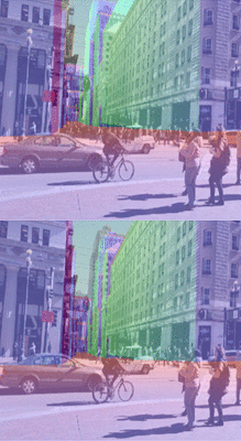
poser_refineCamera pose refinement for visual positioning systems
Jiangye Yuan
[
web] [ground truth data generation]
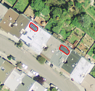
solarP Large scale solar panel mapping from aerial images
Jiangye Yuan, Hsiu-Han Yang, Olufemi Omitaomu, Budhendra Bhaduri
[web]
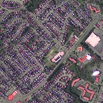
bldgExt Deep learning for automatic building extraction
Jiangye Yuan
[
web] [nationwide mapping] [polygonization]

3dbldg
3D building models from 2D maps and street view images
Jiangye Yuan, Anil Cheriyadat
[web]
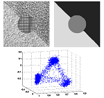
bldgext Factorization-based texture segmentation
Jiangye Yuan, DeLiang Wang, Anil Cheriyadat
[web]
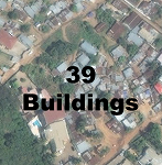
bldgCnt Learning to count buildings in aerial scenes
Jiangye Yuan,
Anil Cheriyadat
[web]
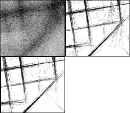
GPS filtering Image based GPS trace filtering
Jiangye Yuan, Anil Cheriyadat
[poster
]
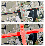
bldgExt Road segmentation by exploiting road vector data
Jiangye Yuan, Anil Cheriyadat
[slides
]
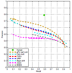
asd Aerial image segmentation benchmarking
Jiangye Yuan, Shaun Gleason, Anil Cheriyadat
[web with dataset]

Publications

Journal

  • Jiangye Yuan, “Learning Building Extraction in Aerial Scenes with Convolutional Networks,” IEEE Transactions on Pattern Analysis and Machine Intelligence, 2017. [pdf
  • Jiangye Yuan and Anil M. Cheriyadat, “Image Feature Based GPS Trace Filtering for Road Network Generation and Road Segmentation,” Machine Vision and Applications, 2016. [pdf
  • Jiangye Yuan, DeLiang Wang, and Anil M. Cheriyadat, “Factorization-Based Texture Segmentation,” IEEE Transactions on Image Processing, 2015. [pdf]
  • Jiangye Yuan, Shaun S. Gleason, and Anil M. Cheriyadat, “Systematic Benchmarking for Aerial Image Segmentation,” Geoscience and Remote Sensing Letters, 2013. [pdf]
  • Jiangye Yuan, DeLiang Wang, and Rongxing Li, “Remote Sensing Image Segmentation by Combining Spectral and Textural Features,” IEEE Transactions on Geoscience and Remote Sensing, 2013. [pdf]
  • Jiangye Yuan, DeLiang Wang, and Rongxing Li, “Image Segmentation Using Local Spectral Histograms and Linear Regression,” Pattern Recognition Letters, 2012. [pdf]
  • Jiangye Yuan, DeLiang Wang, Bo Wu, Lin Yan, and Rongxing Li, “LEGION-Based Automatic Road Extraction from Satellite Imagery,” IEEE Transactions on Geoscience and Remote Sensing, 2011. [pdf]
  • Xueming Yang, Jiangye Yuan, Jinsha Yuan, and Huina Mao, “An Improved WM Method Based on PSO for Electric Load Forecasting,” Expert Systems with Applications, 2010.
  • Xueming Yang, Jinsha Yuan, Jiangye Yuan, and Huina Mao, “A Modified Particle Swarm Optimizer with Dynamic Adaptation,” Applied Mathematics and Computation, 2007.
  • Conference

  • Jiangye Yuan, Hsiu-Han L. Yang, Olufemi A. Omitaomu, and Budhendra L. Bhaduri, “Large-Scale Solar Panel Mapping from Aerial Images Using Deep Convolutional Networks,” in Proc. IEEE International Workshop on Big Spatial Data 2016. [pdf]
  • Jiangye Yuan and Anil M. Cheriyadat, “Combining Maps and Street Level Images for Building Height and Facade Estimation,” in Proc. ACM SIGSPATIAL Workshop on Smart Cities and Urban Analytics 2016. [pdf]
  • Jiangye Yuan and Anil M. Cheriyadat, “Learning to Count Buildings in Diverse Aerial Scenes,” in Proc. ACM SIGSPATIAL International Conference on Advances in Geographic Information Systems 2014. [pdf]
  • Jiangye Yuan and Anil M. Cheriyadat, “Image Driven GPS Trace Analysis for Road Map Inference,” in Proc. ACM SIGSPATIAL International Conference on Advances in Geographic Information Systems 2013. [pdf]
  • Jiangye Yuan and Anil Cheriyadat, “Road Segmentation in Aerial Scenes by Exploiting Road Vector Data,” in Proc. International Conference on Computing for Geospatial Research & Applications 2013. [pdf]
  • Jiangye Yuan, DeLiang Wang, Bo Wu, Lin Yan, and Rongxing Li, “Automatic Road Extraction from Satellite Imagery Using LEGION Networks,” in Proc. 2009 International Joint Conference on Neural Networks.